Reality Capture
Create a current, accurate visual record of a site, structure, property, or asset using aerial and ground-based capture methods.

Reality capture + site intelligence
We help construction and infrastructure teams understand and document their sites through aerial inspection, mapping, and 3D models.
A clearer view of the work
Volantics turns real-world conditions into clear, useful visual information for the people responsible for planning, building, inspecting, and managing physical assets.
Spend less time reconstructing what happened—and more time deciding what happens next.
What we do
Technology is only useful when it creates understanding. We start with the question your project needs answered, then select the right capture method and deliverable.
Create a current, accurate visual record of a site, structure, property, or asset using aerial and ground-based capture methods.
See difficult, expansive, or changing areas clearly—and preserve conditions, milestones, and progress in a format your team can share.
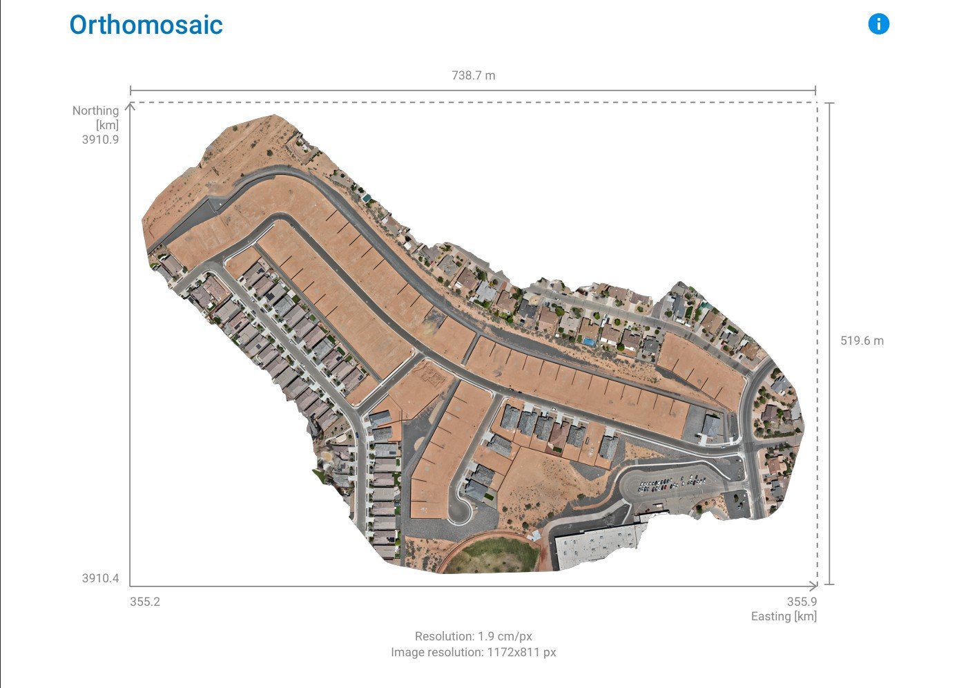
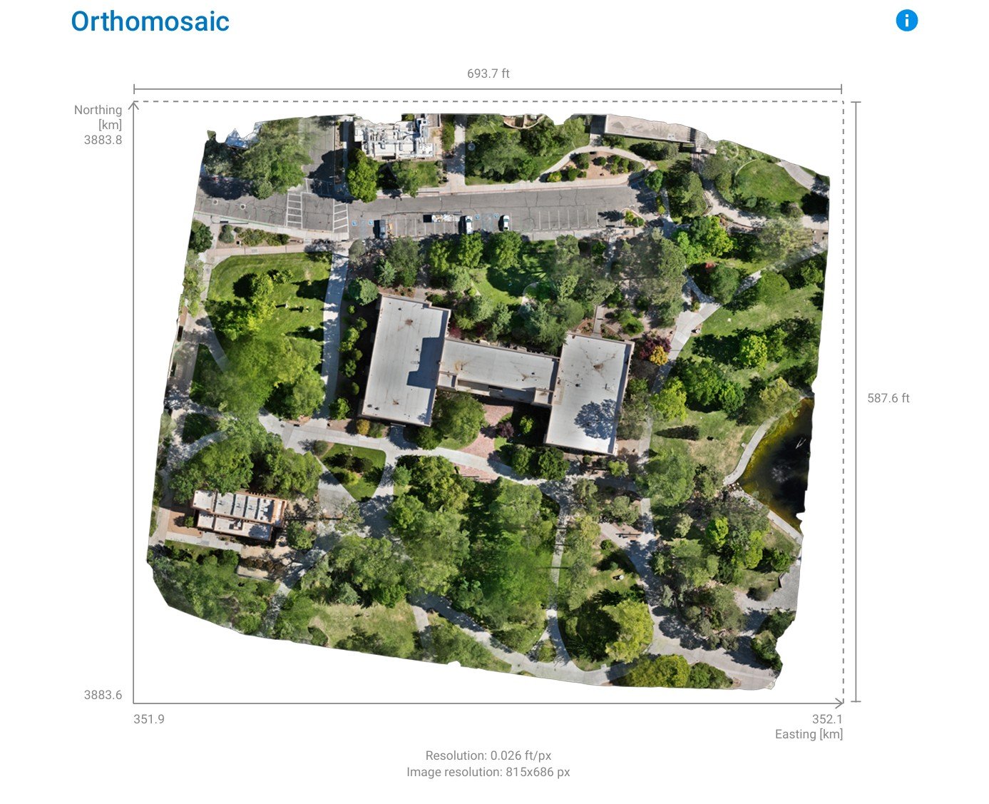
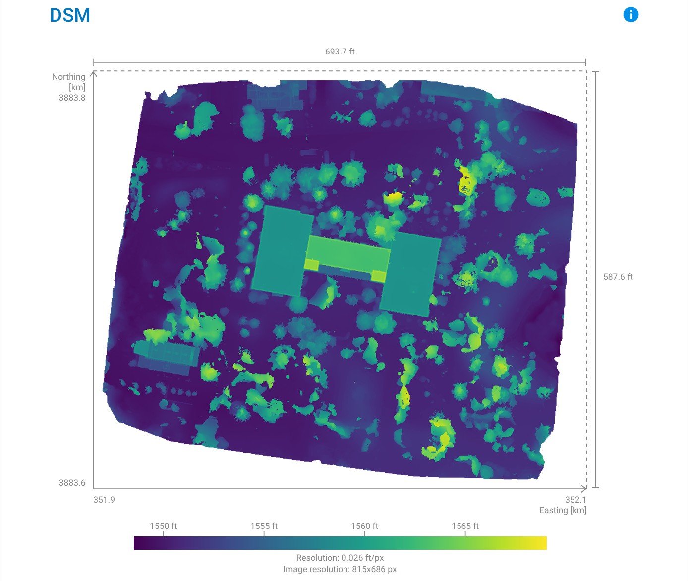
Transform overlapping imagery into orthomosaics, point clouds, surface models, and measurable three-dimensional site representations.
Representative deliverables
Clear outputs for documenting conditions, communicating context, and supporting confident decisions across the built environment.
Why it matters
Our process
What do you need to inspect, document, measure, communicate, or decide?
We establish the appropriate method, coverage, timing, accuracy, and deliverables.
We collect aerial and site information safely, systematically, and purposefully.
You receive clear imagery, maps, models, or reports built for practical use.
About Volantics
Volantics Data Solutions was founded on a simple principle: capturing information is only valuable when it helps someone understand reality more clearly.
We combine modern aerial and site-based capture with purposeful processing, documentation, and visualization. Our focus is not the novelty of the tools—it is the quality of the understanding they create.
Start with the question
Tell us what you need to inspect, document, map, model, or communicate.
Discuss your project